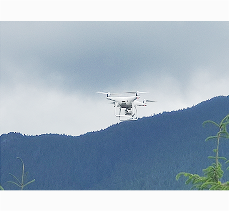
Drone Services
ANET Group leverages advanced drone technology to enhance planning, execution, and verification across our service portfolio—particularly in remote, complex, or hard-to-access environments. As a value-added solution, our drone capabilities complement all other ANET services, enabling smarter decision-making, improved efficiency, and safer field operations.
By collaborating with clients during the pre-construction and design phases, we ensure that each drone deployment adds measurable value—whether through aerial surveying, photogrammetry, 3D modeling, or visual progress tracking. Our drones capture accurate, high-resolution data that supports quality assurance, reduces manual fieldwork, and streamlines project delivery across every stage of construction and maintenance.
Our Core Drone Capabilities Include:
- Aerial Surveying & Mapping – Generating precise topographic and volumetric data to assist with planning, grading, and structural layout.
- Visual Inspection & Progress Tracking – Capturing real-time imagery and video to verify installation quality, monitor safety, and document milestones.
- Thermal & Infrared Imaging – Detecting heat signatures, energy losses, or potential faults in electrical and renewable installations.
- 3D Modelling & As-Built Verification – Producing accurate digital models for design validation and final project documentation.
How Drone Services Enhance Our Other Divisions
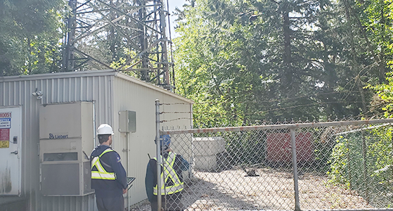
- Telecommunications: Enables line-of-sight verification, tower inspection, and structural mapping for 4G/5G upgrades and new site builds.
- General Contracting: Provides aerial site progress updates, safety compliance checks, and volumetric analysis for excavation and material tracking.
- Buildings & Structures: Supports foundation layout verification, structural inspection, and roof-level surveys for monopoles, shelters, and cabinets.
- Solar & Wind Solutions: Assists with panel layout optimization, shading analysis, and turbine inspection using high-resolution and thermal imaging.
- Electrical Works: Enables overhead line inspection, grounding verification, and visual audits of switchgear installations and substation builds.
- EV Charging Solutions: Aids in site planning, utility coordination visualization, and post-installation documentation for compliance and marketing.
By integrating drone operations into our construction and maintenance workflows, ANET Group enhances accuracy, efficiency, and safety—while giving clients real-time visibility into every phase of their project. Whether supporting a single remote tower site or a multi-location EV charging rollout, our drone-assisted services ensure projects are delivered smarter, faster, and with verifiable precision.